Anar al menú
Anar al contingut principal
Anar al contingut secundari
Menú
Futurs estudiants
Què es un programa de doctorat?
Programes de doctorat
Accés i matrícula
Viure a la URV
Doctorat i empresa
Preguntes més freqüents
Cotutela internacional
Doctorands
Matrícula, permanència i ajuts
Elaboració Tesi
Seguiment i avaluació
Dipòsit i defensa de la tesi
Formació transversal
Programa Open Learning
Sol·licitud títol Doctor/a
Premis extraordinaris
Formació específica del programa de doctorat
Tràmits administratius
Preguntes més freqüents
Formació de supervisors
Supervisió doctoral
Professionalització de la supervisió doctoral
Tallers de formació
Escola de Doctorat
Benvinguda
Organització
Contacta
Qualitat
Doctorat URV
Quina és la teva opinió?
Observatori de la Igualtat
Documents Acreditatius
Campus d'Excel·lència Internacional
Catalunya Sud
Doctorat a la URV
Español
English
Futurs estudiants
Què es un programa de doctorat?
Programes de doctorat
Accés i matrícula
Viure a la URV
Doctorat i empresa
Preguntes més freqüents
Cotutela internacional
Doctorands
Matrícula, permanència i ajuts
Elaboració Tesi
Seguiment i avaluació
Dipòsit i defensa de la tesi
Formació transversal
Programa Open Learning
Sol·licitud títol Doctor/a
Premis extraordinaris
Formació específica del programa de doctorat
Tràmits administratius
Preguntes més freqüents
Formació de supervisors
Supervisió doctoral
Professionalització de la supervisió doctoral
Tallers de formació
Escola de Doctorat
Benvinguda
Organització
Contacta
Qualitat
Doctorat URV
Quina és la teva opinió?
Observatori de la Igualtat
Documents Acreditatius
Menció de doctorat industrial
Nova pàgina d'informació
Formació transversal
Blocs i competències
Cotutela internacional
Nova pàgina d'informació
L’Escola de Doctorat presenta al Comitè de Direcció de l’Escola l’informe sobre la satisfacció i ocupació dels titulats
L’Escola de Doctorat tanca les acreditacions de programes de doctorat amb excel·lents resultats
Notícies
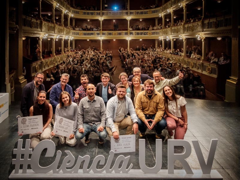
Adrià Vilalta guanya el concurs “Vols saber què investigo?” amb un monòleg sobre el paper dels receptors del gust
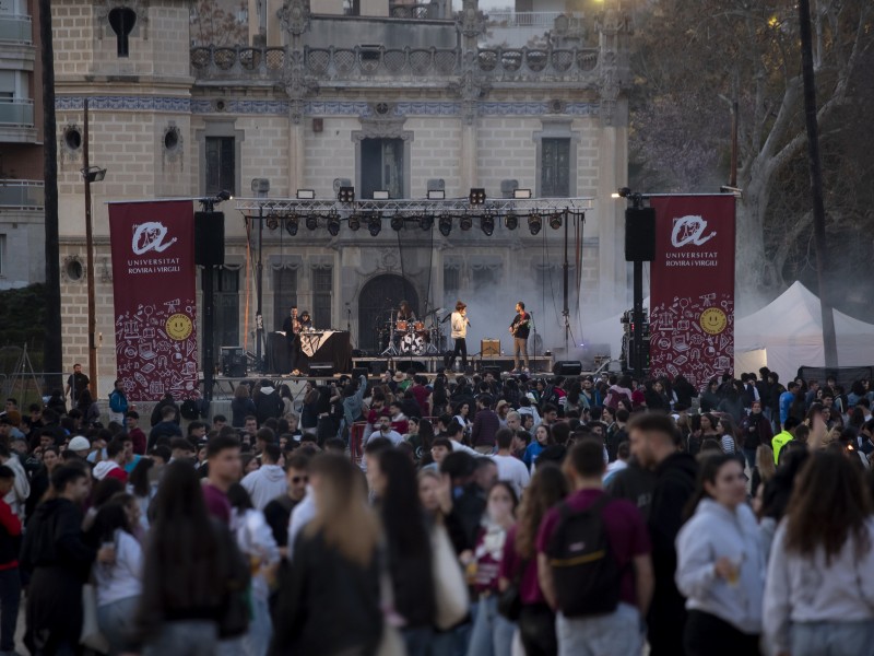
La Festa Major de la URV revalida l’èxit
La doctoranda Fatemeh Behfar, premiada per la Universitat de Roma per un projecte de revitalització de les teulades d’una ciutat de l’Iran
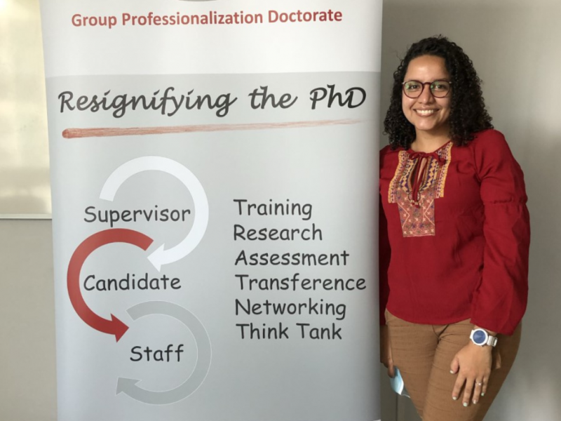
El Grup per la Professionalització del Doctorat de la URV actualitza la definició de director de tesi doctoral
Més notícies